

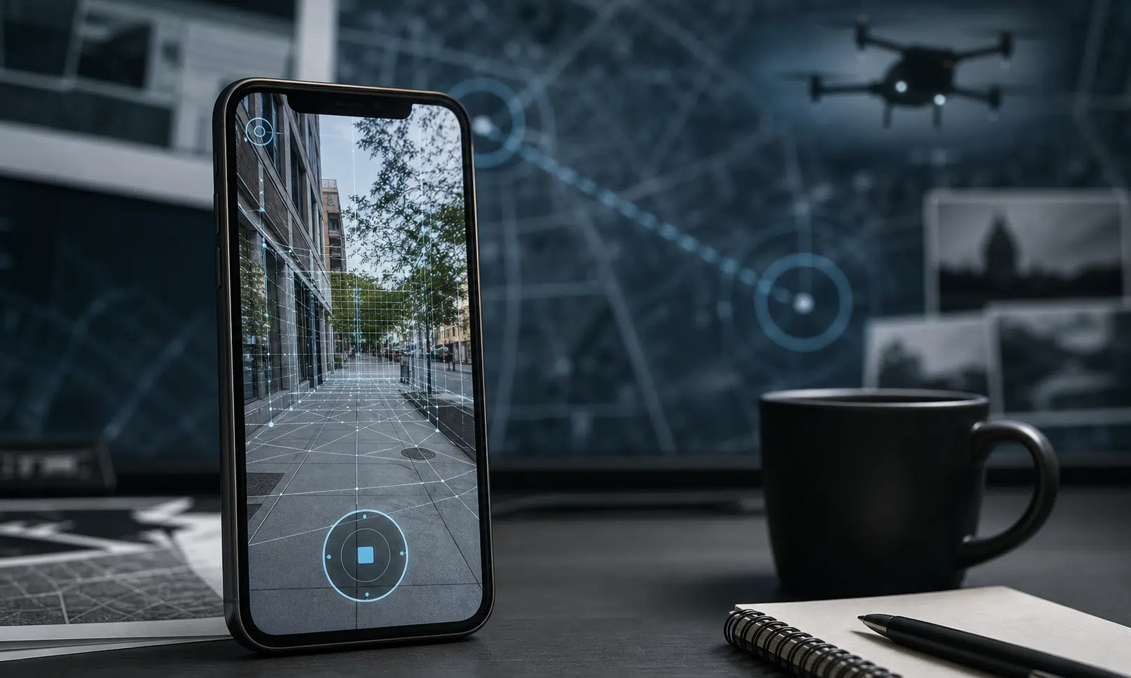

Reports that Pokémon Go location scans helped train AI models now linked to drone navigation work have renewed a hard question for app users: how far can consumer data travel once it leaves a phone?
The issue centers on Niantic Spatial, a company connected to Niantic’s mapping and spatial AI work, and its partnership with Vantor, a business that develops spatial detection and navigation software for drones and other field systems. The reported goal of the partnership is to help autonomous systems operate when GPS signals are unavailable, unreliable, spoofed, jammed or otherwise disrupted.
That kind of capability can have civilian uses, but it is also relevant to military operations. In war zones, drones may need to find their position and coordinate with other systems when satellite navigation is degraded or intentionally blocked. The concern raised by privacy advocates is that scans collected through a popular mobile game may have helped build models that could later support that kind of environment.
What The Companies Say Was Used
Niantic Spatial and Vantor told Guardian Australia that ground scans from the game were not provided to Vantor as part of their partnership. At the same time, Niantic Spatial said AR scans collected through Pokémon Go had been used to train Niantic’s foundation models for understanding physical spaces.
That distinction matters. The issue is not necessarily that raw Pokémon Go scans were handed directly to a defense-linked partner. The sharper point is that consumer-submitted scans may have contributed to models that can interpret real-world spaces, and those models may then be used in systems with military relevance.
Pokémon Go is widely known as an augmented reality mobile game in which players interact with digital creatures in real-world locations, though some background claims about the game’s launch history and download numbers have not been independently verified here. The relevant feature for this story was an opt-in scanning function tied to in-game rewards, where players could submit recordings of real locations using their devices. Because the verification available here is limited, the details of when that feature was introduced and how it was framed to players should be treated cautiously rather than as a fully settled timeline.
For users, the practical concern is familiar: an app permission or optional feature may feel narrow at the moment of use, but the resulting data can become more valuable when combined with AI training, mapping systems and later commercial partnerships.
Why Drone Navigation Changes The Stakes
The Vantor partnership is aimed at navigation and coordination where GPS cannot be trusted. The company’s public messaging around the arrangement has described GPS disruption as a major operational weakness for autonomous systems and field teams.
That is a technical problem with obvious real-world demand. Drones, vehicles and other autonomous systems need reliable ways to understand where they are. If satellite signals are blocked or manipulated, visual and spatial recognition tools can become more important.
The controversy is not simply that a company is building better navigation tools. It is that ordinary players may not have expected scans submitted in a game context to help train AI models that could later be useful in defense environments. Even if users opted in, privacy critics argue that long terms of service and privacy policies are a weak basis for meaningful consent when the downstream use is complex and difficult to predict.
Tom Sulston of Digital Rights Watch argued that reliance on terms and conditions is not enough protection for users, especially when most people are trying to play a game rather than evaluate future AI and defense applications. His broader point was that regulators should test whether data practices are fair and in users’ interests, not merely whether a legal disclosure existed somewhere in the process.
The Bigger Data Lesson
The case fits a wider pattern in which data gathered by consumer apps can take on unexpected strategic value. Rob Nicholls, a researcher associated with the University of Sydney’s work on AI, trust and governance, pointed to past concerns around fitness app data revealing sensitive military locations. The lesson is that location-rich consumer data can expose more than users intend, particularly when aggregated across many people and places.
For anyone evaluating apps, the decision is less about one game and more about a recurring tradeoff. Location scans, camera access and mapping features can improve digital services, but they can also create datasets with uses far beyond the original consumer experience.
A cautious reader should look for several things before opting into similar features:
- Whether the app explains what data is collected in plain language.
- Whether the data is used only for the visible feature or also for model training.
- Whether the company shares data, models or derived technology with outside partners.
- Whether the user can delete submitted scans or withdraw consent later.
- Whether rewards or game progress pressure users into sharing more than they otherwise would.
What Remains Unclear
Several details should be treated carefully. Claims about Pokémon Go’s download figures, the exact timing of specific scanning features, and parts of Niantic’s corporate restructuring have not been independently verified here. Reports also describe the Niantic Spatial and Vantor work as early stage, but the available material does not establish how far any resulting drone-navigation capability has progressed.
What is clear from the reported company responses is that Pokémon Go AR scans were used in Niantic model training, and that Niantic Spatial has a partnership with Vantor focused on navigation when GPS is compromised. That is enough to raise a serious consent and governance question, even without overstating what has already been deployed.
For consumers, the practical takeaway is simple: opt-in data collection is not always small just because the prompt appears inside a game. When a phone captures real-world places, the resulting data may be useful long after the original reward has been forgotten.